



Product Description
GPS Plotting Protractor
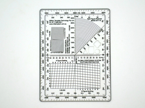
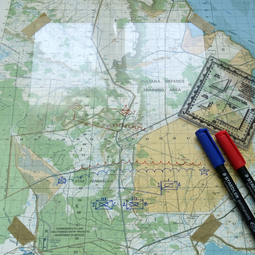
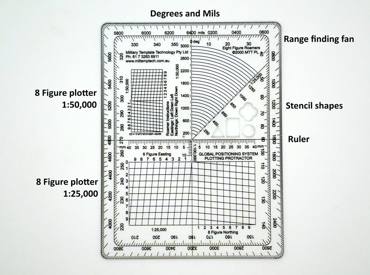
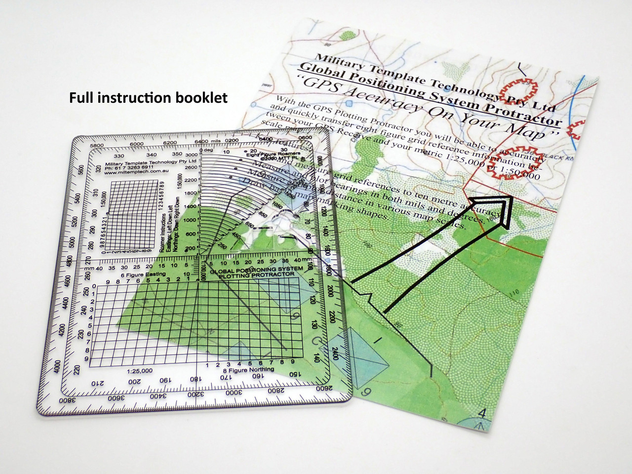
The GPS Plotting Protractor is purpose-built to bridge GPS coordinates and paper map navigation — take a lat-long reading from a GPS receiver, phone or radio, and plot the exact UTM or MGRS grid reference on a military topographic map in seconds. Designed for soldiers, Mountain Rescue and SAR volunteers, bush-aviation pilots, stalkers and off-roaders who live between digital GPS and paper maps. What it does: plots grid azimuths in degrees (0–360) or mils (0–6400), and measures distances on 1:25,000, 1:50,000 and 1:100,000 military topographic maps. The coordinate scale geometry is tuned for converting GPS decimal-degree or DMS readings to UTM eastings and northings, or to MGRS grid squares. Why a dedicated GPS protractor: when a GPS dies, when the battery freezes, when the sky is obstructed, when the radio call gives you coordinates and a soldier needs to plot them fast — the map and protractor is the fallback that always works. Training with a purpose-built GPS protractor keeps that skill sharp. Printed on 1.5mm PETG: UV-cured graphics on the reverse, zero parallax error, waterproof, UV stable, solvent-resistant, flexible. Slides into a cargo pocket, map case or flight bag. Ideal uses: Mountain Rescue coordinate plotting, military land navigation, bush-aviation flight planning, deer stalking and off-road navigation, emergency response training, RMC, ADFA and Australian Army Cadets programmes. shipped from Buderim QLD, manufactured in Australia.
Features
- Converts GPS to Grid Reference — Purpose-built for taking a GPS lat-long reading and plotting the matching UTM or MGRS position on a military topographic map. Closes the gap between digital GPS and paper map navigation.
- Degrees Plus Mils — Graduated in both degrees (0–360) and mils (0–6400) so the same tool serves civilian GPS users, land navigation trainees and call-for-fire operators.
- Three Standard Military Scales — Integrated coordinate scale plotters for 1:25,000, 1:50,000 and 1:100,000 military topographic maps. Works with UK Ordnance Survey, Canadian NTS, Australian, US and NATO map series.
- Zero Parallax, Field Tough — Reverse-printed on 1.5mm flexible PETG. UV-cured, solvent-resistant inks. Waterproof, UV stable. Flexes into a map case without cracking.
- Australian-Made, shipped from Buderim QLD — Direct from Military Template Technology. Fast Australia-wide delivery.
Specifications
- Size:
- Manufacture:
- Protractor: